 |
| Hovatter Road in the Eagletail Mountains |
It's hot. We were bored. We haven't been out in over a month and needed to go play in the dirt. It's been too long...
We're going to Las Vegas next weekend to visit the Nevada National Security Site, formerly the Nevada Test Site of the US Army, so we didn't want to go camping, therefore, a day trip it is! We decided to go check out a few things we had on our Google Earth pins around I-8. We didn't want to drive out and back, we wanted a "loop" trip, so out I-10 we went, and we did 70 miles across the desert to get to Dateland, AZ.
At 8 a.m., we were off! We drove out I-10 to Hovatter Road - a road I normally take north to head up into the Little Harquahala Mountains (mines and cemeteries galore). Northbound, the road is Harquahala Road, but going south, it's the Hovatter Road. Right off the bat, we were in a HUGE construction site - according to the interwebs, it is an Atlas station - they appear to be installing large quantities of solar collectors and possibly building some sort of sub-station for energy purposes. We drove slowly and watched all the equipment - huge equipment - massive scrapers, loaders, rock trucks, water pulls and water trucks. It took us a good 20 minutes to finally get out of the construction area (which was active on a Saturday - weird).
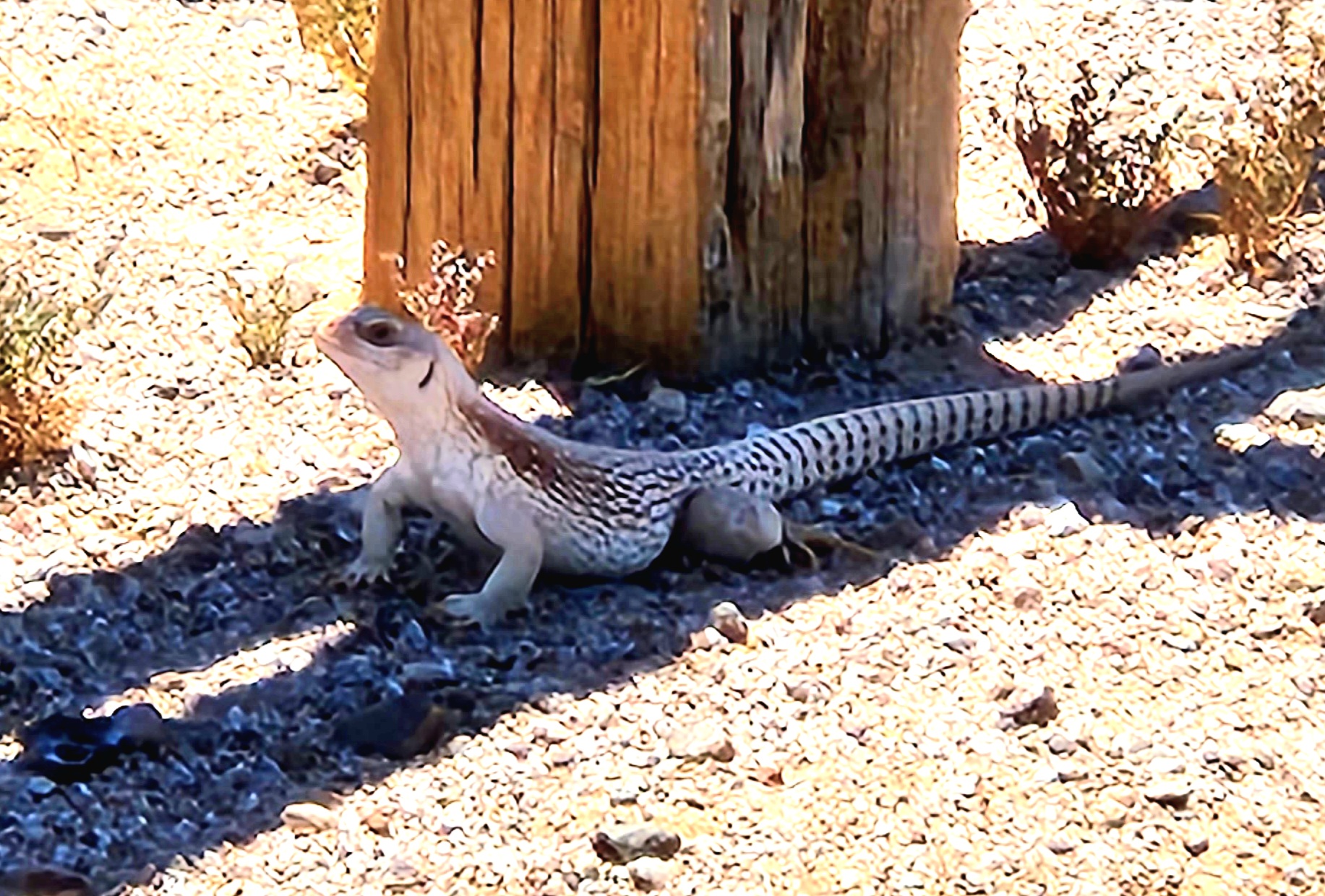
Once we left the construction area, we drove into the Eagletail Mountains. The Eagletail Mountains have several natural archs you can see from I-10 so I always recognize what mountains we are passing when I drive anywhere west. There are several mines/prospect locations within as well, but it is too hot to be out hiking, so we did not check out any of the mines and drove south - where a date shake awaited Paul at Dateland. It was a beautiful morning, and it was early so it wasn't scorching. Yet.
 |
| Traversing the Eagletail Mountain Wilderness |
The Eagletail Mountains are within the Eagletail Mountains Wilderness - a 100,600 acre wilderness area that touches Maricopa County to the east, La Paz County in the northern part, and Yuma Count y to the southwest. It is managed by the BLM (Bureau of Land Management) and became part of the National Wilderness Preservation System in 1964. The area is known for it's offroad trails and hiking trails, and also for it's extreme solitude. We did not see a another vehicle the entire time we were in the Wilderness area, all the way down to Hyder Road. here are no regular water sources in the Wilderness Area, nor on this trail all the way do Hyder, so be sure to take water if you go!
After leaving the Eagletail Mountains area, we ended up passing through Cemetery Ridge, and into the Nottbusch Valley and down into the Clanton Hills/Clanton Well. This is the area that on April 16, 2024 experienced a meteor fireball and 10 shergottite martian meteorites were recovered after - making this the first martian meteorite fall to occur in the United States in recent (written) history.
Here we took a brief break for Bobbi to prepare the deviled eggs we had brought - we downed those and grabbed more water from our ARB fridge and we were off again...
Once we passed between the Clanton Hills and the Gila Bend Mountains, we were in Deadman Wash/Nottbusch Wash for about 1/4 of a mile. It is deep, deep sand and we had to keep our speed up - we couldn't stop or we would get stuck (there is plenty of brush and trees to attach a winch to, but we didn't want to have to do that - the temperature was approaching triple digits by this time). We finally popped up out of the washes and we were on the Palomas Plain - a huge flat area that is clearly used often by off road enthusiasts - trying to follow ONE trail was nearly impossible. As we approached Turtleback Mountain and an unnamed hill to the west, we could see civilization of a sort on the other side.
 |
| An abandoned building at one of the date palm fields |
As we approached, I noticed they were palm trees - date palms! We were on a date palm ranch - of which there are tons down there - it's what Dateland on the I-8 is famous for! We snaked through all of the fields (which was sometimes a challenge) and came out on Hyder Road/Palomas Road by the Southern Pacific Railroad (now abandoned).
And here begins the things we had pinned on Google Earth.
To begin with, the Horn well and water tower for the Southern Pacific railroad - the water tower is still there, along with lots of concrete foundations.
 |
| Camp Horn water tower with foundations surrounding. The Southern Pacific Railroad (abandoned) in the background. |
Camp Horn was a sub camp of the US Army Desert Training Center out of Riverside, CA. The troops would arrive from the train station at Camp Hyder or at Sentinel. There were over 13,000 troops trained here from June 1943 to November of 1943. The training was to prepare troops to do battle in North Afrida to fight the Nazis in WWII. There were shower buildings, latrines, wooden tent frames, an outdoor theater, firing ranges, and a water treatment plant. They used the nearby Agua Caliente natural hot springs pool from the Agua Caliente Ranch (see my previous blogs). There is a monument to Camp Horn (also known as Fort Horn) that is dedicated to all of the soldiers who served there, and especially to those who gave their lives to end the Holocaust and defeat the Armed Forces of Nazi Germany, Fascist Italy and Imperial Japan. This monument was erected in 2002.
 |
| The Desert Training Center, including Camp Horn and Camp Hyder |
The pyramid monument is there to remember the seven servicemen killed in a training accident. It reads as follows:
Here trained For Victory, Under Desert Skies, The 81st Infantry Division, The Wildcats 1943, In Memoriam: Privates Robert J Vilella, Paul M. West, Earl S. Smith, James J. DeCarlo, Lynn Ramsey, Clyde B. Slayton, Arden W. Bridges.
We then traveled down to Ave 64E where the old Horn Cotton Gin used to be. There is nothing left here except the old utility building. So we parked, and jumped out to take some pictures.
 |
| Horn Cotton Gin Utility Building |
While the building was interesting, the more interesting part was the "nerd" learning I got from Paul about electricity. We parked under some high tension lines. Paul jumped out, and started telling me to "listen, listen - do you hear that?" I did hear that. I heard someone cooking bacon. Haha.
Paul explained that these were 345-500 Kv transmission lines that were buzzing because the immense voltage potential is breaking down the dielectric properties of the free air resulting in a continuous coronal discharge (also known as ionization of the air). This was the technical term. I called it bacon frying. You can hear the sizzing in the video short.
After leaving the Horn area, we headed South, looking forward to having a date shake. We headed into Dateland, Paul got his date shake, and I had a small scoop of chocolate cherry ice cream. It was divine!
 |
| Old water tower at Aztec, AZ |
We now headed out in search of a few Butterfield Stage Stations. Our first was one I've seen referenced as Grinnell State Station. Now I'm going to start with I've seen both of the stage stations we visited referred to as the same thing - Grinnell, Flap Jack, and Stanwix. According to the National Park Service's website regarding the Third Division of the Butterfield Stage Stops, this first stop is likely not actually a stage stop. From Oatman Flat Stage Station (no longer in existence), next up was Flapjack Ranch Stage Station (which we visited and you will see below), next was Griswell's Station - not Grinnell's - and not at the coordinates this was at. There is no Stanwix Stage Station according to the website, but everyone mentions it as the westernmost battle/skirmish spot of the Civil War (there is a Stanwix former filling station we will reference below). Picacho Peak, AZ also claims to be the site of the westernmost battle of the American Civil War. But this location is actually further west than Picacho Peak. The important difference in these is that the battle/skirmish at Stanwix did not result in fatalities. The Battle of Picacho Peak resulted in the death of three Union solders.
So I'm not sure what this foundation is actually of. But several websites have listed it as Grinnell's Station. So I'll call it that (knowing fully it was not a Butterfield Stage Stop). It was an easy drive going up from the Stanwix exit, which contains nothing except the remains of an old filling station and the old Dateland Ranch House.
 |
| The Lewis & Clark parked at the old Stanwix filling station |
 |
| We think this was likely the old restrooms of the filling station...note the tile |
 |
| This is a photo I took in 2020 of the Dateland Rock House |
The Dateland Rock House used to have a mark on a wall indicating it was built prior to 1902. This home was supposedly owned by Nate Salsbury, friend of William F. "Buffalo Bill" Cody. There also used to be a carving that said "Bill Cody 1902". We do know that Buffalo Bill Cody did visit his friend Nate before his death and on his way to Oracle, AZ where he formed a mining company. The carving that says "Bill Cody 1902" was stolen sometime over the past decade or so. Another piece of history gone...
This is the Grinnell Station - which was NOT a Butterfield Stage Stop.
 |
| Old foundation sometimes referred to as Grinnell's Station. Obviously too new to be a Butterfield Stage Stop |
As we tootled back to I-8 to go to the next stop, we discussed our disappointment of not finding anything "cabin" like. This was also before we knew that this was not a true Stage Stop.
Our next stop was the Flapjack Ranch Station, which we know for certain WAS a Butterfield Stage Stop. This was a long drive up from I-8, past many private ranches, some of which looked incredibly dilapidated but obviously had people living there. As we approached the area where the Flapjack State Station is, we had difficulty find it - and I knew from Google Earth there was some sort of structure there. Then it popped out at us!
 |
| Flapjack Ranch Stage Station - look how the logs are notched to fit! |
 |
| Flapjack Ranch Stage Station |
Lots of websites are saying that the Flapjack Ranch Stage Station was built in 1850 and was originally called the Flap Jack Ranch, then Grinnell's Ranch/Station, and then Stanwix Ranch.
This is the actual location of the American Civil War "Skirmish at Stanwix Station." It took place on March 29, 1862 when Captain William Calloway and a group of 272 troops from the California Column (a group of Union volunteers sent to Arizona and New Mexico during the Civil War) discovered a small detachment of Confederate Arizona Volunteers lead by 2nd Lt. John W. Swilling (yes, the same Swilling that was credited with being one of the founders of the City of Phoenix, AZ). The Confederate Volunteers were burning hay which had been placed here for the California Column animals. After a brief exchange of gunfire, the Confederates, clearly outnumbered, retreated to Tucson. The skirmish resulted in the wounding of a German-born Union private, William Frank Semmelrogge, but he recovered. There were no other casualties. The burning of hay at the stage stops along the way from California to Tucson stopped the advancement of the California Column' to Tucson, and allowed Swilling to warn Captain Sherod Hunter, who was the district military commander of the western Confederate Arizona, of the approaching California Column. This then lead Capt. Hunter to place pickets at strategic locations, leading to the Battle of Picacho Pass.
Paul and I were so happy to find some remnants - although I don't know how much longer they will be there. I'm also not certain that some of this isn't buried, as many of these stage stations are along the Gila River and have been flooded repeatedly over time.
As we drove back towards the I-8, we were exited about the next stop. I've been to the Oatman Massacre Site and the Oatman Graves and the Fourr cemetery before, but Paul has not. So off we went from I-8, back across the lava fields, and up to the Gila River.
I first took Paul to the Oatman Massacre site, which sites above the Gila River basin below. Of slightly less interest than the Oatman Family Massacre is that you can see wheel wagon ruts in the rocks heading down from the Massacre site into the Gila River Basin into what is now known as Oatman Flats.
 |
| Marker for the Oatman Massacre site |
 |
| Wagon Ruts in the rocks on the old Stage Route - the Southern Emigrant Trail |
In February of 1851, Royce Oatman and his family were looking to find a new life in California. They had left Tucson, heading to Yuma, alone and without the rest of their traveling caravan, who wanted to stop and rest at a friendly Pima village. At this site, the Oatman family (father Royce, mother Mary, son Roland, daughter Lucy, son Royce Jr., daughter Charity, daughter Mary Ann, son Lorenzo and daughter Olive) were attacked by a hostile tribe (unsure if Yavapai or Tonto Apache), and both parents, Lucy, Royce Jr., Charity and Roland were all killed by the Apaches. Son Lorenzo was beaten and left for dead. Daughters Mary Ann and Olive were taken captive.
.jpg) |
| Olive Oatman after her repatriation into American Society |
Lorenzo survived the attack and was later able to tell authorities of the captivity of his sisters, Mary Ann and Olive. Mary Ann and Olive were eventually traded to the Mohaves (for two horses, some vegetables, blankets and beads). Mary Ann did not survive (starvation/malnutrition), but Olive did. Five years after the attack, Olive was rescued from the Mohave and went on to give talks about her time living with the Mohave tribe. She was an oddity in 1960's America because she had been given the blue chin tattoo of the Mohave, making her the first known white woman with a Native tattoo on record.
The story of Olive Oatman is legend in Arizona. Most children learn about it in school.
 |
| Oatman Memorial, beneath the Oatman Massacre Site |
After having some lunch in shade of a palo verde tree, we went over to the Fourr Family Cemetery.
This is a very old, but very sad, cemetery. William "Bill" and Lucinda Fourr were pioneers who settled on Oatman Flat in the 1870's. Bill and Lucinda were married in 1868 near Gila Bend, but they moved to, and lived at, Oatman Flats. They built and maintained the Oatman Flat Station (later rennamed the Fourr's Stage Station) which was a stagecoach station of the Butterfield Overland Mail. The stage station is no longer there. I'm not sure if it is from the 1992 flood, or if it simply got plowed over (I suspect the flood, because the location where it should be is not part of the farm land).
In this tiny but well maintained cemetery are buried three small humans. A.T. Fourr (11/23/1869 - 01/1877) and F.F. Fourr (12/21/1876 - 01/1877). The plaque at the cemetery states they died near the same date of an illness. And a stillborn baby. The Fourr family had 12 children, three of whom died in childhood and one who was killed in WWI. In 1879, the Fourr family moved east and south and founded the Fourr F Cattle Ranch in the Dragoon Mountains in the southern Arizona territory. This small cemetery is a testament to how hard life was in pioneer times. This is one of the oldest pioneer cemeteries I've ever been to in Arizona.
 |
| Fourr Family Cemetery on Oatman Flat |
 |
| Fourr Family Cemetery - Plaque placed by the Boy Scouts |
 |
| The only legible headstone at the Fourr Family Cemetery |
At this point, Paul and I were starting to get tired. We'd been on the road close to 10 hours bouncing around in the desert. We drove back towards Sentinel, and visited the old Sentinel Train Station and a small rock building behind it. We then drove down towards the US Air Force Installation south of Sentinel, and checked out a not-very-old house that was in ruins and had cows living all over it. You couldn't take a step without stepping in a cow patty. On our way back to I-8, we found an old highly directional yagi antenna that is no longer in service. It looked like there once was a building there, and possibly a generator. But we don't know what it was for. It's just out in the middle of nowhere. Exactly the kind of weird stuff that Paul and I like to find!
 |
| Ruins of the old Sentinel Train Station - with a train running along the rails |
 |
| Old stone house next to the Sentinel Train Station |
 |
| Old ranch house now taken over by cows. Tons and tons of cows. |


