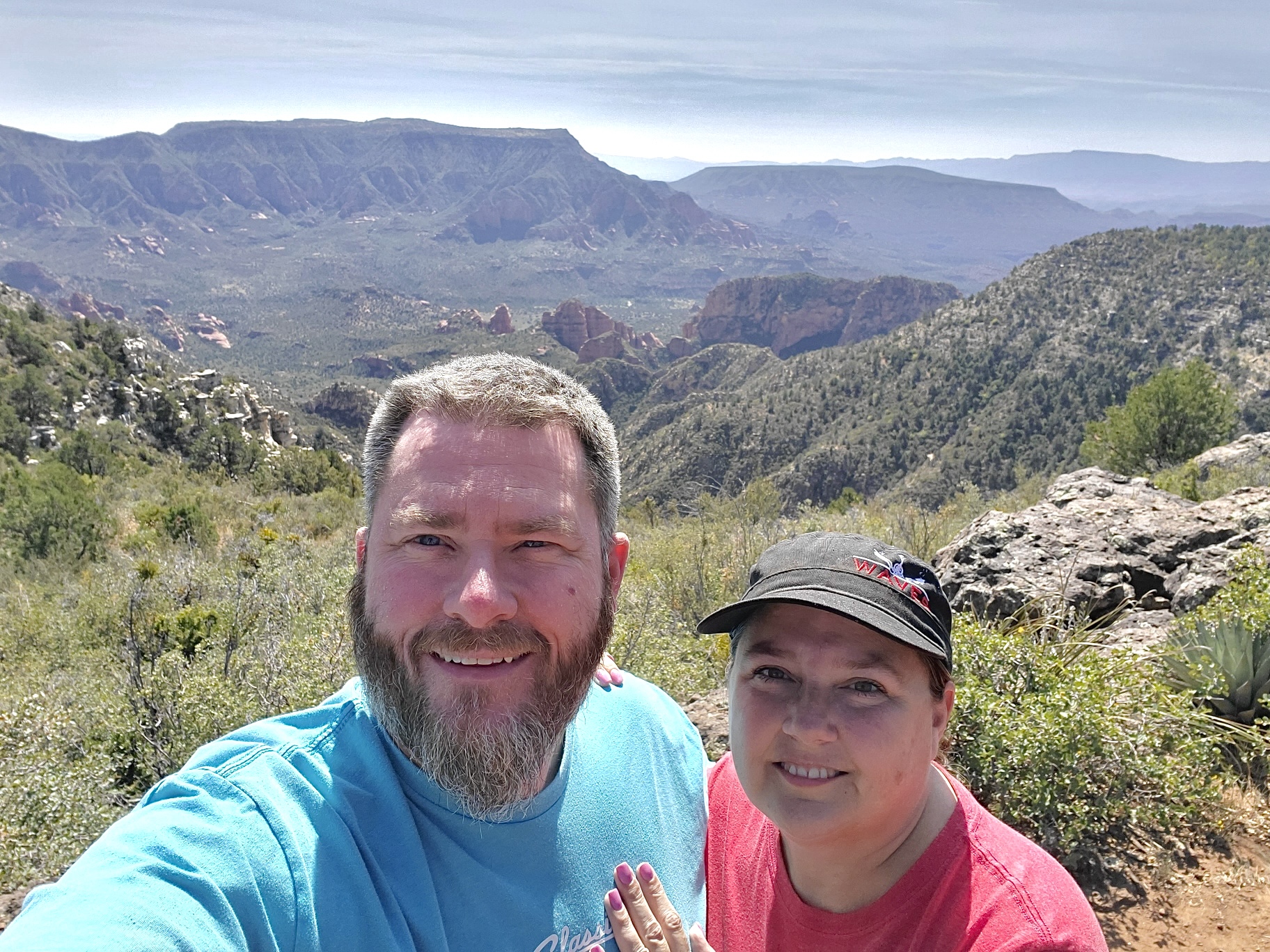
My adventures on the backroads of Arizona - visiting ghosttowns, mines, cemeteries, and any other areas of interest in remote areas of Arizona and the surrounding states. In addition, we are underwater explorers, so you may occasionally see underwater explorations being posted as well! Welcome to my fantastic life! My name is Bobbi Jo Claywell, and exploring is our thing!
One of the Pools on the Hassayampa at the Box Canyon
Friday afternoon. Paul gets off work around 2, and I was already home and antsy to go do something. We had planned a trip for Sunday afternoon after I got off work - but we decided to do it Friday instead - we wanted to work on some recovery skills for me before my Offroad Recovery course on Saturday. So off to the Hassayampa we went!
We didn't know what we might be facing on the way up there after the turnoff onto Rincon Road. I've been hearing about how the Hassayampa is closed due to portions of it being private, and the land owners had had enough of the trash and tearing up of the landscape. But we went up anyway. The usual turn into the river bed is fenced off and signed with no trespassing, private property. However, we continued up Rincon Road and found another access point onto the BLM portion of the Hassayampa right before the Box Canyon. So into the soft sand of the river bottom we went.
Paul and I are both VERY familiar with the Hassayampa river bottom. We've been up there together, and we've been up there separately - both of us have explored pretty deep back on the river - again, together and separately. But this time, I had spent some extra time pouring over old topographical maps, etc. and found a few new places that we wanted to stop, as well as a stop by my old friend Jim Fox's house.
We didn't expect much water in the Box Canyon because we've had such an incredibly dry summer here. So we were surprised to find the river flowing and some deeper-than-usual pools of water. Of course, they were nothing for the FJ - and even if they were deeper, Paul has a snorkel - his truck is a Scuba Driver! Hahaha
So we barreled through the pools (see the video) to head up to Jim Fox's house.
Now - Jim Fox - he was an old timer that lived in a small house up over the Hassayampa. He is also known as Hassayampa Jim. Quite a few years ago, some folks who were trying to be kind talked Jim into moving into Wickenburg to an assisted living home. Jim passed away there shortly after. I used to take the quad up to visit Jim and take him VCR tapes. He was a lovely old character, and LOVED visitors! Unfortunately, we were unable to get to his old house as it is now on private ranch land. I intend on reaching out to the ranch to get permission to go pay my respects to his memorial and his home. Jim Fox was one of those people that I just loved to sit and talk to. He reminded me of my Grandpa Jim.
Old homestead that Paul and I visited before...
So - as we were unable to get to Jim's old house - we went up to a homestead that Paul and I had explored together back in February or so - but we had gone at night. Today we got there before the sun went down. I have absolutely no history on this homestead at all - but it consists of a house, an old shed, some kind of building with a ladder down to the river, an old barbeque wagon, and some other miscellaneous oddities - like what appears to be a concrete tub buried in front of the house. This little homestead has lots of trash to explore, and leaves one wondering about the person who lived there.
We decided to keep going up the river bottom even though the sun was going down as there were several other cabins we want to see. Ones that neither of us knew about prior to my topographical map searching.
The well at the second site
The next place we stopped no longer had a cabin. But it appears one WAS there at one point. The highlight of this stop, however, was the HUGE tree! I'm still trying to figure out what KIND of tree this is - but the trunk was as big around as the FJ! It was MASSIVE! There were old cut timbers, and an old well, along with a rock wall and some concrete foundation things. It was a beautiful little area - tucked back up and off the river bottom - got some pinstriping going back in there - but it was a new area we hadn't explored before!
At this point, it was dark and we decided not to go up to the other cabins (two we hadn't been to, and the furthest one we had both been to in the past). So we decided to head back.
The ride back was uneventful, but going through the pools of water in the box canyon at night was AWESOME! Look at this beast of a truck drop down into the pools and pop right back up out of them - we're a boat! Paul and his truck never fail to amaze me.
After discussions on how to air down, and air up, the tires, and Paul having me do it - I felt as though I was ready for the Offroad Recovery Class the next day - and I was!! Thanks to Paul's training, I was more than capable of handling anything they could have thrown at me. Next up - Paul taking me out to do some actual recovery work to learn how to work the winch, etc. Because in the next few weeks...Calamity Jane is getting a new (to her) bumper, a winch, a lift and a new (to her) roof rack. She just got new (to her) kick out sliders installed while I was in class yesterday (again, thank you Paul).
So keep an eye out - Calamity Jane will be beefing up here soon!
Paul and I both own 2007 FJ Cruisers. Everyone knows that - Paul's is Voodoo Blue and is named Lewis & Clark. Mine is Black Cherry Pearl and is named Calamity Jane. Anyone who reads my blog knows this. Paul and I also both belong to a "non-group" on the interwebs called AZFJ.org. We've both belonged to it pretty much since we got our trucks. It is, in fact, how Paul and I first met way back when - on a small trail run I put together to Humbug Ghosttown that only Paul showed up for. We became immediate friends, and hundreds of emails and texts were sent over the last 6 or more years (most of the texts were me asking "what kind of oil again?"). LOL
AZBackRoads Girl happily awaiting the succulent bovine deliciousness at the Longhorn Grill and Saloon (caption by Paul)
In that non-group are a number of key folks - people we have both either met or conversed with - over the years. One of those folks is Jimbolio. Jimbolio also owns a 2007 FJ Cruiser in SunFusionYellow - her name is Precious. Precious is a fairly famous truck here in the FJ community, and Jimbo puts on tons of trail runs each year and is just a super-nice guy.
Well, a month ago, the few of us that still follow the website forums (Jimbo never moved to the Facebook page) woke up to the sad news that Precious had caught fire over night and the entire engine compartment had burned up. The insurance company called it an "act of God" because they couldn't prove arson, nor could they prove it was a pack rat (there's a whole theory behind pack rats in Arizona eating wiring in trucks due to the soy that is apparently used to coat the wires?).
Precious and Lewis & Clark
So - Jimbo bought the truck back from the insurance company, and he decided to sell off some parts to both make a little money for his new venture (can't tell you what that is - but it's going to be awesome!) and to help out the FJ community. Well, Calamity Jane is benefiting from that! Paul and I drove down this weekend to pick up the parts - more on what we are doing in a bit...but that is how this trip started out...as usual, I've gotten ahead of myself...
We also decided it was time for me to go ahead and hit up Nogales for asthma meds. Bailey's asthma meds are extremely expensive - even with insurance - here in the good old USA. I pay $250 for one month's worth of oral steroids, and $48 for a 2 week albuterol inhaler. In Mexico, I pay $15.00 for 5 MONTHS of inhaler, and I pay $25.00 for 3 MONTHS of oral steroid. Same medications, reputable makers, everything. But when COVID hit - walking across the border wasn't smart, so I've just been paying insurance rates here in Phoenix. So Paul left work a little bit early on Friday, and off we went, trailer in tow, to Nogales.
USA to Mexico Entry Point
I had found us a cute little out of the way B&B in Amado, AZ to stay over night. The drive to Amado was uneventful. We checked in, dropped the trailer, and hightailed it to Nogales because the Farmacias closed at 5:30. We got Lewis & Clark parked, and hoofed it down to the border crossing. Now, Paul has never been to a border town. He had NO IDEA what to expect. I did warn him that we were going to get hit up at every turn to come in and check out the vendor shops, etc. I don't think he was prepared. LOL
Mexico
I hustle him through the crossing - which on the way in to Mexico is just a turnstile. We hit up the first Farmacia that is open and get all the meds (less than $200 for a year's worth, by the way, and I even got some antibiotics just in case). Then I take him down to the first corner "marketplace." All the while everyone is trying to hand us business cards, trying to persuade us to go in to their stores, etc. I walk Paul through the little corner marketplace, and we are accosted by lots of people trying to sell their stuff. I tell Paul "just keep walking - don't talk to them - don't make eye contact." I'm laughing hysterically because I've done this - tons and tons. Paul told me after we left the marketplace that they were "really annoying - worse than car salesman." He's right. I'm just used to it. I ask him if he wants to stay, find a restaurant, get a beer, whatever, and he said he had had enough - so knowing that the Deconcinni gate has a 60 minute wait, we decide to head over to the Morley walk-thru gate. Now - we are walking through a deserted area of town - and it's a little creepy. I'm not used to this part of Nogales - I've never walked through the Morley gate. But there are cool old buildings, and amusing signs (mostly strip clubs) - some cool caves set into the side of the cliff (see the picture below - the caves are under the Nogales sign). I've since discovered these used to be part of a rather famous restaurant.
Nogales Sign and Old Restaurant "Caves"
We get to the Morley gate - and guess what? IT'S CLOSED AND LOCKED! Sigh - figures - typical Paul and Bobbi luck. So we walk back through the deserted section of Nogales - almost get run over by some crazy dude driving erratically down the street, and go get in line at the Deconcini gate. The wait was maybe 30 minutes. Not horrible. They shuffled us through as always. And then we were back in the good old USA.
We walk back to Lewis & Clark, and head back to Amado. There's a cool little restaurant in Amado called The Longhorn Grill & Saloon. You can see why... The building itself was built in the 1970's, and has housed a clothing store, a bait shop, and a roofing company. It closed in 2016 due to foreclosure, but re-opened last year as a steakhouse - and it seems to be a most appropriate venue for this fun little roadside attraction. The steaks were good - the rest of the food was okay. The karaoke was awful.
Longhorn Grill and Saloon
Then back to our quiet little B&B to sleep and relax. We stayed at the Amado Territory Inn B&B. What a delightful little place - Doug and Teah are the hosts, and they were just wonderful. We had the entire place to ourselves and we enjoyed the solitude of watching the stars from the back patio at night, and watching the sun rise over the Santa Rita mountains. It was the perfect place to end a hectic work week for both Paul and me.
The Amado Territory Inn B&B - Back Patio
But - we were up and ready to go get truck parts on Saturday morning - with a little side trip to the San Xavier del Bac mission. The San Xavier mission was founded in 1692 by Father Eusebio Kino, but the current structures date from 1792. I've been here tons of times, but Paul had not - and of course, the White Dove of the Desert calls from Highway 19 - so we stopped! The mission was absolutely beautiful, as it always is, however, the general public can only enter a very small part of the front vestibule - I assume this is due to COVID, but one cannot see the St. Francis "entombed" (originally from the Tumacacori mission, which was abandoned) or get up and close to the altar as we have in the past. I'm not sure this isn't a good thing - the mission is already fragile - no reason to add more deterioration from people touching, marking, or generally defacing the mission.
San Xavier del Bac Mission - The White Dove of the Desert
But - we are supposed to be heading to Jimbolio's to get the truck parts, and I desperately wanted a Starbucks...so into Tucson we head. We find a Starbucks, get tea for me and coffee for Paul - then we get to Jimbolio's. It was sad as we slowly drove past Precious - from the back she looked perfect except her rear bumper was now gone. But as we got up next to her, the burned up front end made me want to cry.
The haul for Calamity Jane Thank You Precious!
Jimbo met us outside and he and Paul promptly got to work removing the front bumper. Jimbo has an old steel All Pro front bumper - one of the original ones - you can't get them like it any more. And I asked, and Jimbo agreed to sell it to me for a fraction of the cost. I still need to get it powder coated, but I'm so excited to have a steel front bumper! In addition, Jimbo had an original ARB basket style roof rack (the one that says FJ Cruiser on the rails) and he sold it to me too! And last but not least, he has the All Pro kickout rock rails - and we picked up those too!!! So Paul and Jimbo spent some time removing the bumper amidst all the melted aluminum and soot/ash from the fire. Then off came the rock rails, and we loaded it all onto the trailer for the ride home. Calamity Jane is going to be styling some new equipment soon! And I'm excited that Precious' (again, 2007 manual transmission) loss will be Calamity Jane's find (also a 2007 manual transmission). A little bit of Precious will live on through Calamity Jane - we promise to do right by her memory!
After Paul and Jimbo tie down all the parts, Paul and I head out. It's late morning, and we don't want to waste the day, so we decide to go hit up SASCo because I had heard a large private military training establishment had purchased it and was destroying it, and then, if we had time, we were going to hit up the 96 Ranch.
SASCo Sign
We make our way to SASCo (Southern Arizona Smelter Company) - first stop is the cemetery. And it's posted No Trespassing. Now me, my brother and my daughter and her friend have been to SASCo in the last two years. There weren't any No Trespassing signs except going down the road...I'm sad to see that they had to make the cemetery inaccessible. I'm certain this is due strictly to people vandalizing it. SASCo has long been a haven for vandals and there was a bunch of new vandalization at both the Rockland Hotel and at SASCo proper. We left the cemetery and head over to the Rockland Hotel - which has degraded even further - the lovely rock and concrete walls are falling down quickly - the Rockland won't be a visible ruin for much longer. I love the old pre-1921 photo of it - looks nothing like the Rockland now...
The Famous Smelter Stack at SASCo - now boarded up?
And then we go to SASCo mill site. This was fairly depressing for me - I've been going to SASCo since 1989 when I went to college. The old smelter hole has been boarded up (I assume by the military training facility), there is TONS of trash everywhere - most of it obviously military training trash left by the company utilizing the area, walls have been built and blasted through at the mill site, and we even found wire with blasting caps (which were not detonated - eeks). There's a burned up Jeep Cherokee up by the mill ruins, and part of what I refer to as the catacombs have had their ceilings blasted off and they piled up the concrete rubble. I sent Bailey photos of SASCo while we were there. She was very sad about it - she's been there with me multiple times and loves the place as much as I do.
The burned Jeep Cherokee
Recently Destroyed Mill Site/ Catacomb Ruins
Paul and I walked around in the blazing hot sun for a bit, and then when Paul went back to the truck for water, I went in search of the SASCo sign in concrete. I couldn't remember exactly where it was - and when I found it, I was so happy that it hadn't been destroyed!
Someday SASCo will be a memory - paintball teams use it, people use it as a shooting range, and now this private military company is destroying it. Goodbye Arizona history...
We decide to head out and over towards the 96 Ranch. Neither Paul nor I have been to the 96 Ranch. We have no idea what the road is like - and we are trailering a bunch of truck parts - so we aren't sure if we are going to make it or not. But we did!
PLEASE NOTE THAT MOST OF THE 96 RANCH HAS BEEN
BULLDOZED DUE TO VANDALISM ISSUES.
96 Ranch Main House/Homestead
The road was super-easy. You could take a passenger car up there - the ranch itself is amazing in that it has not yet succumbed to the elements - the main house is still a fun walk through (watch out for the bees/wasps), and the old barns and other structures are fun to walk around. Apparently much of the history of the 96 Ranch has been lost to time, however, the extensive ruins and corrals/barns would suggest livestock of some kind - and a fairly large operation. I do know that the ranch used to encompass nearly 57,000 acres of grazing land, and was up for sale for $4,500,000 in the mid 2000's, but is no longer up for sale. I have read that it was purchased, along with several other surrounding ranches - but I cannot verify that at this time. Lots of cool things to see and explore - and Paul and I were pleasantly surprised by the amount of ruins left here - right on the road!
Paul exploring what appears to be worker accommodations
But it's getting late, and we are hungry - so back to the 79 we go and head in to Florence. We decide to hit up Rudy's Burrito's for some street tacos on the way home (I love their street tacos!) and then home.
Sunday was a very rare day off for both Paul and I with nothing formally planned. We got up - and we went diving at Lake Pleasant, then came home to remove the burned winch from the front bumper from Precious.
New-To-Me front bumper with the winch we removed
It was a busy and productive weekend! And as usual, Paul and I made the most out of a necessary trip and got to explore Arizona even more!
Me and Paul at the Longhorn Grill & Saloon - early morning
As usual, Paul and I were wanting to get out of the house - work has been hectic, the temperatures were finally dropping (although as I type this, they are back up again). And Paul has convinced me to go camping again.
Now - I used to hike, backpack and camp all over. But not for a very long time have I done any of that regularly. I'm not a "pee in the woods" kinda gal. However, without getting into much detail - there are all kinds of things out there now to make life more comfortable for a girl while camping - as well as comfortable sleeping pads, etc. So I let Paul talk me into it. We had to take Calamity Jane because Lewis & Clark is in the body shop. I had no idea how much I would love it!
Boiler at the Logan Mine
I've recently been active with a group - Arizona Backcountry Explorers - who has a private group to which I belong. An overland trip up in the Prescott National Forest has been planned for a month or so, and Paul and I both had the weekend off - so we decided to go. Kevin from Arizona Backcountry Explorers was the only other person to go on this exploratory trip - and what a great couple of days it was! Paul knew Kevin from some previous outings, and he was just our type of person to overland with - an eat-on-the-road, push it until we're done kinda guy!
Saturday started out a bit of a mess. Kevin was running late and I forgot a sweatshirt - and we knew it was going to be cold. We were supposed to meet at Cordes Junction, but because Kevin was late, we stopped in Rocksprings to look for a sweatshirt. No go - so back to Anthem we went, where I got an awesome fleece lined flannel jacket and a long sleeve thermal top. Back in the truck we hop - and the north-bound traffic has hit.
Scenery and Building at Logan Mine
We finally make it to Cordes Junction - use the facilities, purchase some trash bags (because I forgot them), and as we were waiting for Kevin to arrive, we noticed another Black Cherry Pearl FJ Cruiser with an AZFJ sticker on it... Paul and I are not-so-subtly staring at it wondering who it belongs to. We are completely stumped, because the driver looks like Bryan Glider, but it isn't Bryan's ride. Well, as it turns out, it IS Bryan - and the FJ is his lady's FJ - Kelly. So as Kevin arrives and fixes his tire, we chat with Bryan and Kelly - laughing about what a small world it really is...
So after an almost 2 hour delayed start, we start heading up to the 169 off the I-17. I'm just chatting up a storm to Paul (who is driving) and I'm not paying attention to the fact that Kevin blew past the exit and just kept going. We get off on General Crook Trail and I realize what we've done, so back to the 169 we go. Just after we exit the 169, we turn off on a dirt trail that heads north - a road with no Forest Route designation - just a dirt road heading north. We air down, and head off. We bounce along on a heavily rutted road until we get to a spot with very, very deep ruts and a bunch of sand. And the truck slides. Into the ruts. And we are high centered and stuck. We radio to Kevin, who backs back down to assist in yanking us out. I hopped out to video it...
After getting yanked out by Kevin, we are off again, and Paul tells me what once I get the new shocks and lift on, that won't happen. We talk about how we don't really worry about that stuff when we take Lewis & Clark because she's all grown up and lifted...
Stunning Views at Logan Mine
Next up is the Logan Mine (Copper and Gold) - an underground mine with a single 600 foot shaft. The Logan Mine is about 2 miles southwest of Cherry, and was opened for the second time in 1922. By 1934, the Logan Mine was idle and has not been reopened since. The site had a small mill along with other buildings. We stopped to poke around - lots of brick, and old boiler completely encased in concrete, one old building, and tons of mining trash...and lots of nails!
We explored for a bit, had a brief snack, and decided to keep heading up the road. It was starting to get warm, but being completely buried in the mountains without another soul around except us was wonderful!
As we continued heading up the road towards Cherry, we came upon a gate - which was, of course, locked and said no trespassing. We could see the town of Cherry from here - and had less than a quarter mile until we were there, but we had to turn around, go back through the Logan Mine area, back through where we got stuck, and down to a more frequently used route that ended up on a paved road for a short time until we entered the town of Cherry from the paved route.
Old Building at Logan Mine
We drove into and around Cherry briefly, then found our route again and started to head north into the forest again - no more nasty rock climbing or rutted roads, now we just had absolutely stunning views and occasional stops to check out something I had found on Google Earth - like the Brindle Pup Mine.
At the Brindle Pup (Iron, Lead and Zinc), there was a gate, but it was open, so we went in, parked the trucks, and walked around. Lots of mining trash, and a cabin - with a toilet, beds, and a can of stewed tomatoes (eww). We never did find the mine proper, but based on the topographical maps that Kevin and I both had, we knew there was an adit, and at least two other possible pit mines on the side of the mountain that the Brindle Pup mine was on.
Trash at the Brindle Pup
Someone took a great deal of time around the Brindle Pup mine housing - there are rock lined pathways, benches, planted trees, and more. It was quite beautiful up there - and we all agreed it would be a beautiful place to live. AND - we all had service on top of that little mountain as well! We found an area where they were clearly processing ore as there was a water tank, and some other mining trash lying around.
But - it's already afternoon and we aren't even a third of the way into our route for the day, so we are off and headed up towards Mingus Mountain and the color changing trees! What a stunning afternoon of overland driving - all dirt, sometimes shelf roads, but all of it gorgeous.
We dropped down into Cottonwood and determined that the route originally plotted would not work, so we drove up through Jerome - which I haven't been to in at least 25 years - drove through Jerome, and then headed out Perkinsville Road - another long but wide shelf road. At this point, the sun is starting to go down, and we are all wanting to find a camp site. Kevin wanted to watch the sun set, and Paul and I wanted some daylight to set up the tent.
Moon over the Campsite at Sunset
After crossing the Verde, we drove north on FR354 until we found a high, flat place to set up camp, and within minutes, both trucks are parked, tent is up, and we are all sitting back in our chairs having some dinner (bourbon marinated burgers with sautéed mushrooms) and drinks (peanut butter whiskey anyone?), and just talking about trips, what we want to do in the future, and the next day's adventure.
We turn in relatively early - Kevin sleeping in his truck, Paul and I in the tent - the overnight temperature was in the high 40's, but we were toasty warm in the tent - and surprisingly comfortable on the pump up sleeping pads Paul had. Just as soon as we got settled in to go to sleep, we start hearing something around the tent - and I immediately think that the coyotes we'd been hearing all night calling to one another were around. It took a good 20 minutes before I realized it was the big miller bug (aka "Moth") that was flying around in the tent when we went to bed. He was flittering around the top of the tent trying to get out, but because it was so incredibly quiet, it sounded like something was walking around outside...
I slept incredibly well all snuggled down in the cold - and as usual, Paul and I both woke up around 4 am or so (our regular waking time) and just dozed on and off waiting for the sun to come up (at 6am or so). After the sun came up, Paul and I got up, made breakfast (biscuits and gravy for me!!!), and lazed around in the cool morning air. Once Kevin was up and we had all eaten, we decided to hit the trail, so we took down the tent, packed up the trucks, and we were off headed to Sycamore Point, which was our intended camp site - and was 14 miles away.
Paul drove in the morning, and while there were no obstacles, it was VERY rocky on the road to Sycamore Point. We passed some large quarries along the way, with some beautiful rocky areas - in fact the only area that I took a video of Calamity Jane doing even the smallest bit of climbing.
Once we arrived, the views were stunning overlooking Sycamore Canyon. Paul and I were amused by the fact that not very many weeks ago, we were on the other side of the canyon at Winter Cabin - less than 3 miles from where we were at Sycamore Point, and the Buck Ridge cabins were directly across from us!
AZBackRoadsGirl and Paul at Sycamore Point
As we head out of Sycamore Point, I mentioned that I wanted to see the JD Cabin and grave at Sunflower Flats, so we make a small detour to this really cool cabin, owned by James Douglas (1820-1884). Also at the JD Cabin, which looks a bit newer than 1884, is an old bunkhouse which had several rooms (the floors are collapsing) and above the main cabin is a log cabin which has fallen down and is quickly becoming part of the forest again. As we explored this gorgeous old cabin and surroundings, I decide to head over to the grave - which we quickly found. James Douglas ("JD") has a headstone there, but I understand his wife is also buried here, without a headstone or memorial marker. These are the places I love to visit - old cabins, old graves, pioneer history in the middle of nowhere. The JD Cabin is in one of the most beautiful settings in Arizona - it overlooks a flowered meadow and is surrounded by huge pine trees - absolutely stunning - I could live there without any hesitation.
James "JD" Douglas Cabin/Homestead
As we leave JD Cabin, I take over the driving - I thought we were done with any crazy off road driving and that I wouldn't even have to be it in to low to do anything on the way out to Oak Creek. Boy was I wrong.
As we head South on FR527, everything seems nice and easy - wide graded roads...then we hit the 527A to the 236A. I'm pretty sure this is some torture route that is used to shake the truth out of people. The 527A was rough in that it was very heavily rutted, and because of this, we had to take it slow. As we headed around Casner Tank and down towards the 236A (which is a road Paul and I have been on before), Kevin radios that he would like to go to the overlooks near Kelsey Spring. Paul and I decide to forego the overlooks as we've already been to many of them in the Sycamore Canyon wilderness area, and we head out.
James "JD" Douglas' Grave Site
The road was long, and at times trying - but we made it. We stopped at Chileen's for dinner, and then headed home to unpack and get ready for work the next day. We had a wonderful time - Paul got to go camping, I realized that I still enjoy it, and we are making plans for more over night adventures!
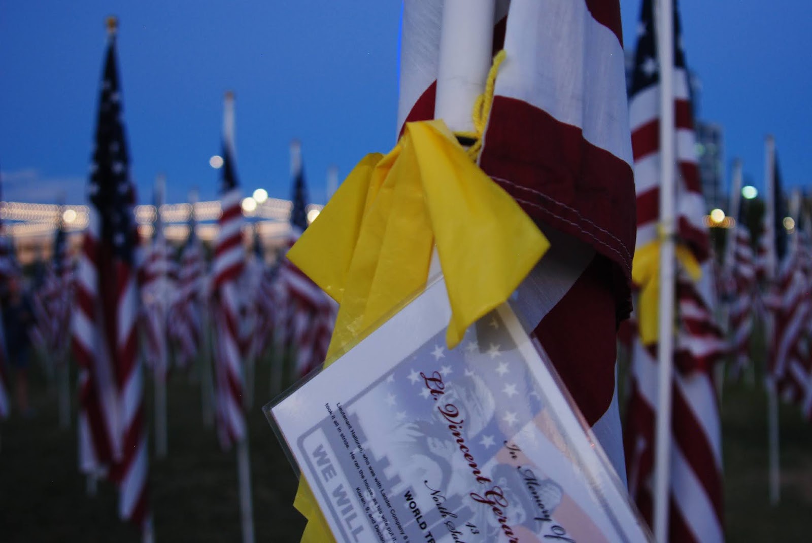
So it's 9/11. 9/11 is emotional for me, as it is for many people - particularly those of us who watched the horrific happenings unfold before our eyes - on tv, in real life, or via the radio. I will never forget sitting on the 26th floor of my office watching the towers fall on the conference room big screen, and watching the airplanes go by our windows and wondering...and crying for my America.
I'm dismayed by the lack of unity in America right now, which makes this 9/11 even more difficult as I see all my old posts about "let's the be America we were on 9/12." I watch the videos, as I always do - this year Bailey came in to watch a few with me. She almost always has done this - she understands why it is heartbreaking for me, although I don't think she feels the heartbreak - the kiddo wasn't even born then. I asked her if her school said anything, and she mentioned that they talked about it during morning prayer and announcements. I was pleased to hear that. Schools have been pulling back on teaching about 9/11 because the students "found it disturbing." Bailey and I usually go to the Healing Fields on 9/11 - but this year it was virtual due to COVID, so we couldn't go. So I watched the videos - and cried - like I always do...
Brandon in his Isuzu Vehicross with Nicole in front
Anyway - so it had been an emotional morning for me, and I wanted desperately to get out of the house. It feels like it's been weeks and weeks. I told Paul I needed to get out of the house and away from work for a bit, and he suggested we go take the 9982 route from Black Canyon City down to Table Mesa Road, then head over to the Black Canyon City overlook. We were taking his truck (the LC - the Lewis and Clark) and I was going to drive at least the 9982 for practice. It's a fairly mild trail - a few slightly off camber spots, but nothing I haven't done before. We had, in fact, just done the 9982 a week or so ago with fellow off-roading buddies of Paul's - Brandon and Nicole of Arizona TREK - to try out Brandon's new-to-him Isuzu Vehicross...which did amazingly well.
So we set off for Rock Springs, where I insisted we stop and get some pie this time at the Rock Springs Cafe - and we popped a piece of mixed berry pie and a piece of Jack Daniel's pecan pie in the ARB fridge for the stop up top at the overlook.
And off we went - we aired down the tires and switched seats. I adjusted the mirrors (cuz I'm short, I guess) and off we went. The 9982 doesn't really have any good opportunities for pictures unless you head over towards Gillette, but we turned off before that. There were a few spots where I got a little nervous - one where we were sliding down a slope in soft dirt, and two where I dropped down one side of the truck into a rut or off a rock and it felt tippy. Every single time - "breathe baby breathe - you're fine" - and I was. The truck did it's thing. All I had to do was steer. Not sure how I'd feel taking Calamity Jane - a manual transmission is just a bit different than driving an automatic, but I feel this would be a good trail for me to practice on. So maybe in the future...
Old broken windmill on the way to Orizaba Mine
Anyway - we turned off the 9982 and headed back towards I-17 to cross under the north and south bound lanes. I was still driving, but was tired, and we were now on a road I'd not been on, so Paul took over driving so I could watch for all the "things." We drove through Moore's Gulch river bottom for a bit, then over to Moore's Gulch ruins - which was overrun with cows, so we just drove through and didn't stop. As Paul has been up here before (and broke the LC too!), we were looking for a mine on an offshoot trail - the Orizaba Mine. It's a little jaunt off the main road (FR46) and as we traveled up the road towards the Orizaba, we stopped to look at this gorgeous windmill. Paul followed some wires up to the top of the hill where he discovered some solar collectors (he told me all about them, but I remember nothing here...) and I took lots of pictures. We forged onward, and found a small tunnel, which of course Paul "had" to go in to - he said it went back about 20 feet or so. He was disappointed. Haha.
And then there it was. The locked gate. To the Orizaba Mine. It was clearly marked Orizaba Mine, and also clearly marked no trespassing. Sigh - always with the closed and locked gates. This gate had electric gate openers, etc., and it looked well used, so like good little off-roaders, we turned around and headed back to FR46.
Paul at one of the Wildlife Water Catchment systems
FR46 is mostly an uneventful road - it travels along quite a few saddles, around a few mountains, then turns and starts heading back towards the I-17 up where the big flat mesas are. Its absolutely stunning country - and it was a beautiful evening. As we bopped along, we discovered cool little things - like a Wildlife Water Catchment system (we found two) with a huge covered water reservoir, and a "watering hole" with a sloped exit point. It was interesting - and informational signs were posted telling us that our tax dollars had purchased the Catchment systems and to please not mess with the cameras. The cameras were missing though. Ha...
Ninja cows on the horizon
As we left the area, we went by an old corral with a shed/covering which we could see from a distance. We passed another watering tank, and then we drove along a ridge for most of the rest of the way.
We passed lots of cows, and we drove and drove on a relatively easy road right up until the end...which must have been 3 or 4 miles from Black Canyon City, but overlooking the city. Watching the lights on the freeway, and watching the sun finally set - Paul and I ate the pie we had brought along, and we watched the lights - we watched the bats start flying, and then it was pitch black - and we decided to head back. It was a quiet night, and nothing strenuous - but it was out of the house and it was off-road with my guy. What more could an AZBackRoadsGirl ask for?
Calamity Jane at the Rainbow Mine over Chloride, AZ
Well, we did it. We scratched up the new skid plates on Calamity Jane. We aired down her tires and scraped and skidded up and down a few mountains to some awesome mines...but I'm getting ahead of myself...
We had been planning a trip to Mohave Lake to go diving for over week. Mohave Lake has a dive park (Cabinsite Cove) and I was really looking forward to taking Paul diving somewhere where he could actually see something. Lake Pleasant being what it is this time of year, the visibility is generally less than 2 feet - and with new divers, it tends to get down to closer to 6 inches.
So we planned to get up and meet some of my dive buddies at 5:15 a.m. to take off to Mohave on Saturday morning. Then on Thursday and Friday everyone slowly backed out - and then it was just me and Paul. So we didn't get up super early - instead we left the house around 7 a.m. and started the long trek towards Mohave Lake/Laughlin. We had decided to stay over night in Chloride - an old mining town that I love, and do a little exploring as up near Kingman is absolutely COVERED with old mines, chutes, towns, etc. Everything Paul and I like to go explore! And we decided to take Calamity Jane this time. Paul grabbed the compressor, we moved the fridge to Calamity Jane, we packed her all up with scuba tanks, gear, food and an overnight bag, and off we went!
The drive to Mohave Lake was uneventful - we cruised up through Wickenburg, circled around Kingman, and drove down towards the Colorado River and Bullhead City/Laughlin. We talked about all the places we had visited up in that area - we reminisced about my suggesting that Paul take Duner (Mike) and Connie to the Hualapai Mansion years ago (more commonly known as the Gold King) and the difficulties he had on that trip - and how cool Paul thought it was. I showed Paul photos of the Hualapai Mansion in 2009 and 2011. I told him of my visits to Chloride and how much I adored the little mining town, and he told me of his visits to other mine sites in the Hualapai Mountains.
It was starting out to be a fun day - and then we got to Mohave Lake. We actually had to wait in line to get in to the Lake - some kind soul on their way out gave us their receipt (good for 7 days) so we didn't end up paying the $25.00 entrance fee - which turned out to be a good thing. As I drove us up to Cabinsite Cove, I never expected there to be hundreds of people parked all willie-nillie there, nor did I expect to see all those people swimming in the cove.
It was 120 degrees out, and I was unwilling to hoof several hundred pounds of gear more than 1/4 of a mile to the water's edge, nor was I willing to leave anything (ie - extra tanks, etc) lying out where anybody could grab it. The park ranger said we could drive down to unload gear, but then had to go park the car in the upper parking lots outside the regular parking area. Too much work, worry and heat.
Hardyville Pioneer Cemetery
So we abandoned the idea of diving, and drove in to Bullhead City to check out an old Pioneer cemetery in Hardyville. It wasn't really worth looking at, and again, it was 120 degrees along the Colorado River. We envied the folks who had their jet skis and were flying up and down the river - and we laughed at a pontoon boat that was FLYING! We decided to head in to old town Kingman to check out the historic district and look for antique stores!
Historic Kingman is tiny - and there weren't many people out (they were apparently ALL at the Lake!). There were some old cars out, and we stopped to walk through a number of antique stores.
Our Nautical Starboard Light
As we walked through them, we discovered a cool old nautical starboard beacon - it was so cool with the blue/green glass and the old brass frame! We snatched that thing up, bought it, wrapped it up good, and took it with us!!! Paul wanted to make a light out of it - and check out how awesome that turned out! We found a red port light on ebay, so we have a matching set!
We then went to a cute little 50's Diner where Paul had his first malted milkshake. We had a good and heavy lunch, then decided to go up the road to Chloride where we were just in time to check in to Shep's Miners Inn - a cute little hotel (the ONLY hotel) connected to a bar and restaurant in downtown Chloride.
Shep's Miners Inn - Chloride, AZ
We checked in to our room - which didn't have any A/C on, so we turned that down, and decided to go out exploring - there were mines close to Chloride we wanted to explore so we headed East up towards the Tennessee Mine (the big one at the base of the Cerbat Mountains) and looped around to the Murals and then started heading up. We decided to air down poor Calamity Jane, because she was bouncing around like crazy - we had a bunch of scuba tanks tied down in the back which made her back end heavy, and airing down took away much of the bounce
Chloride Murals
factor. Calamity Jane and I did awesome - until we came up to an area that had some rock crawls and "sloloms" for lack of a better term. Very rutted out, and up the hill - I got out, hiked to the top, and I thought I was taking a video. As it turned out, I didn't. But I did get to hear Calamity Jane's skid plates hit the rocks But that was okay - even better stuff was to come! After that little bit, the road, while rocky and at times a bit rutted, wasn't terrible. We passed an old ore chute with a huge tailings pile, but we were specifically heading to the Rainbow Mine.
The Saturn and Pickup Truck in the Cerbat Mountains
As we passed around one of the mountains - I said to Paul "hey babe - look at that car on the side of the mountain!" Paul glanced over and said "it's not a car, it's a truck." I looked at him and where he was looking and realized we were looking in two different directions. There was an old truck AND a car both down the side of the mountain (stolen?) not 200 feet from each other. As we finished coming around the bend, the Rainbow Mine came in to site - and what a site! An old building, lots of foundations, ore chutes, mine holes, you name it! Paul and I explored for more than 30 minutes. There was a beautiful breeze, the sun was high up in the afternoon sky, and we were in the kind of place we both love! Mining country!!!
Rainbow Mine Panorama
As we decided to take off, Paul asked me to watch for the car and truck down the side of the mountain. As soon as I saw it, in true Paul form, he scampered down the side of the mountain and hollered back up to me that the car was a Saturn. Paul knows that I used to have a Saturn. He knows I loved it. I loved it almost as much as Calamity Jane - but not quite. I waited to see if he was going to head down to the pickup truck, but he didn't. He came back up, and we headed back down to Chloride to poke around some more.
Cerbat, AZ
Off to Mineral Park - the huge mine South of Chloride. Mineral Park has been around for ages and while I'm not sure they are mining there any longer, it is still secured off. We tried to get to the Mineral Park Cemetery, but it was fenced off with a guard. So we abandoned that idea. Off to Cerbat we went, and while we found Cerbat, we clearly didn't find all of it, and there are a TON more mines we want to go visit up on the East side of Mineral Park.
Santa Klaus, AZ
At this time we realized that the restaurant in Chloride was closed, and we decided to head back to Chloride by way of the minimart. With a quick stop at Santa Klaus. Santa Klaus is a very depressing little stop on the main road to Vegas that has been abandoned for quite some time. We somehow came in from the back side, and got some beautiful photos of Santa's workshop and house. Then we went to the minimart - which was closed.
No dinner for us.
Back to the room we went - now the room temperature was 89 degrees at 3 pm when we checked in. By 8 pm that night, it was 86 degrees. Ugh - it was a long night. The room didn't even get below 80 until about 3 am - and Paul and I both prefer it cold for sleeping...so it made for a rough night.
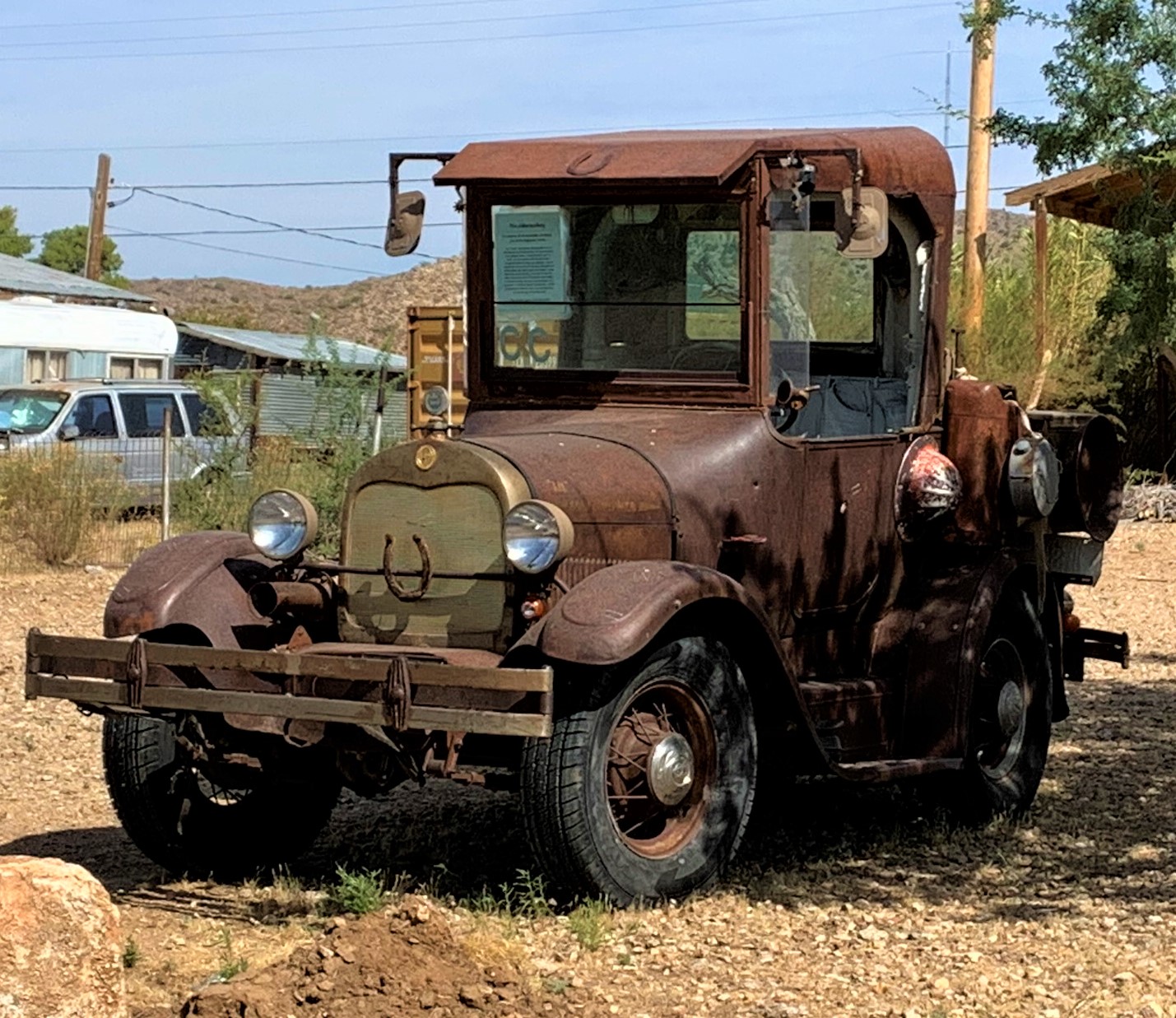
Old Truck in Chloride that reminded me of Lizzie from the Cars Movie
We got up the next morning, read the news on the spottiest wi-fi ever, and then went over to the restaurant for breakfast. And breakfast was worth waiting for! Excellent bacon and eggs, Paul's steak was flavorful and cooked just right! Endless coffee (for Paul) and hot tea (for me) - and AC. We enjoyed breakfast and discussed the remainder of our day, which would be heading home via a couple of long dirt roads, including Alamo Crossing road and Signal road.
We gathered up all of our things and headed out. We found a Starbucks in Kingman (yay me!), gassed up (yay Calamity Jane) and Paul decided to drive while I navigate. First stop - Yucca, AZ!
Antler Mine Headframe
Yucca AZ isn't much. It has some weird UFO museum there - which we did NOT stop at, although it looked pretty busy. We headed in off the main road towards the Hualapai Mountains so we could head up to the Antler Mine, our first mining stop of the day. Some cool old ranches along the way with old cars, including old Jeeps and an old Kharmann Ghia which looked to be in relatively good shape. It was an easy road - nothing technical - well graded - and we got up there relatively quickly. We found several old buildings and the headframe - explored for a few minutes before discovering that they were actively drilling on the mountain above us, and were watching us. We decided to leave the area, although nothing was posted no trespassing, there's something awkward about being watched out in the middle of nowhere like that.
Next stop up the Boriana Mine Road was a trail to the East that led to the Copper World Mine.
Now Paul has been along this road, and has even been up to
Copper World Mine in the Hualapai Mountains
this mine, however, we discovered on Google Earth a building up there that he said he hadn't seen. He mentioned he had no time to explore the Copper World Mine last time he was up there because people were waiting for him to get back on the Boriana Mine trail. So we aired down Calamity Jane, and did some of the toughest climbing Calamity Jane has seen - yet (the day ain't over!). As we bounced along the short spur up to the Copper World Mine the scenery was beautiful and even though we were on some small shelf roads, not one bit of panic set in! We had to cross numerous wooden "bridges" that went over some small gullies - at first I was nervous, but then realized that the truck could cross the gullies even if the wood wasn't there, so I didn't care if the wood didn't hold...
As we turned the last little bend, the massive structure at the Copper World Mine flotation mill loomed before us. The Copper World Mine was established in 1916 and changed hands many times throughout the years. The mine closed the first time in 1968, then was reopened in 1974 for a very short time, but was closed again shortly after. It is claimed that the Copper World Mine (also known as the Bobcat Mine) has a sizable amount of copper ore still in the ground - enough to make it worth mining. The mine also supposedly has sizable potential for platinum, silver and gold as well! But the road up there is rough and while not long, it is narrow and slow going.
Paul and I were a bit confused about where the building was that we saw on Google Earth, until we were up underneath the flotation mill site - then we saw the little chimney peeking up. While I busied myself picking up sizable hunks of mica (I love mica!!!), Paul scampered up and around to take a look at the explosives building, then up over the tailing pile to the building. As I was surveying the mountain side that the Copper World Mine is built in to, I noted tramway foundations and frames going up the mountain to a higher mine site. What a beautiful site for a mine! And so many goodies to look at - numerous collapsed buildings, contents strewn about the valley, lots of creaking old metal to make it a bit spooky and then the dreaded bees everywhere...we spent quite a bit of time up here just checking it all out. By far my favorite location of the weekend!! The research I did when I got home showed several pictures of the Copper World Mine in its heyday - love finding photos that show how it was and comparing to the photos I'm taking now. This is why I love exploring the old West.
Boriana Mill Ruins
But we still had another mine to go visit - the Boriana - the mine that was supposed to be the highlight of the trip. As we bounced our way back down to the nice and easy Boriana Mine road and turned on to the road, we saw the requisite cows (aka, Ninja Cows). And as we came around a bend, I happened to look up and exclaimed "what's that?" Paul laughed and said "that's the Boriana." It was HUGE! I don't know what I was expecting, but I wasn't expecting that! The site was massive and just hanging out right there on a road that a 2wd high clearance vehicle could make it up to! There were more mill site foundations than I had expected - for once, what I was expecting wasn't anything near what I saw!
Wide view of the Boriana Mine
The Boriana Mine was known prior to 1908, but became a really big deal during World War II as a Tungsten mine. It was, in fact, the largest Tungsten mine in Arizona, but it was closed in 1957 due to a fire. The mine is very extensive and has many, many levels. Most of the mine was flooded in the 1950's, and in 1987, an investigation of the potential of the Boriana concluded that most of the mine had caved in on itself and the rest was filled with hydrogen sulfide gas (note, don't go in it!).
Goldfish at the Boriana Mine
We poked around a bit - then went up to see the highlight of the Boriana - the goldfish pond. Yes, you heard me right - goldfish. They've been up there for years and years - and they are still there! We got out to feed them some goldfish crackers (yeah, we know...cannibals). And we caught sight of a little snake in the water - just hanging out. Then, he caught a fish!!! Amazed by the snake and the goldfish, we stayed at the little pond for probably 30 minutes, then decided to head back down and out of the Hualapai Mountains - we still had to get home and it was getting hot...and we had two more stops to make!
The ride out of the Hualapai Mountains was uneventful. We found Alamo Crossing Road and headed down towards Signal - but had decided to stop at the McCracken Mine. Paul hadn't made it there last time, and I had never been - most of my exploring being on the South side of Alamo Lake and the Bill Williams River.
Rock Cabin at the McCracken Mine Mill Site
Still aired down, the road to Signal was a breeze and super comfortable - barely even felt any washboard at all. We passed the turn off to Signal, and headed down to the turn off for the McCracken. Making jokes about it being the Irish "Release the McCracken" - we bounced our way in towards what the internet refers to as the "Rock Cabin." The McCracken mine was discovered around 1874 and was a silver and lead mine. Mining continued until the 1960's, when the economic viability of the mine played out.
Not knowing what to expect, and thinking that the worst of the four wheeling was done up at the Copper World Mine, we bumped along a little jeep trail until we could see the cabin in the distance. Then the road got a little ominous...Ominous enough that I questioned if we should be going up it in my truck - which is also my daily driver. But Paul's confidence in Calamity Jane overroad any misgivings I had, and up we went. It was by far the worst off-roading Calamity Jane has seen, and we seriously banged up the skid plates - but it was worth it! The "Rock Cabin" had bats, booze, a fireplace, a table, and a mine adit on the outside! It was well worth the trip up, and while I was nervous about going back down (and rightly so - we slid several times), we decided that we had found a cool place to camp someday.
Below the Rock Cabin is the old mill site - best seen from above by the cabin - the McCracken mine itself has adits all over McCracken peak, and there isn't much left at the actual main mine site itself. As we head back out, slipping and sliding along the nasty eroded area and we get back to the "main" road (heavily graded dirt), we head over towards Signal.
Signal Ruins
Now I've always wanted to go to Signal - and was very upset when I heard that the old Bar/Saloon had burned down or was torn down some decades ago. Signal was a large mining center from the 1870’s until the 1930's - by 1932, Signal was quickly turning into a ghosttown...
There are a lot of foundations left in Signal - as well as a substantial cemetery. But a storm was blowing in, and we had to cross a fairly major wash - so we didn't spend a great deal of time here - Signal turned out to be somewhat disappointing for me. But it was getting late - the sun was going down, and we were tired and hungry...so we departed Signal and took the long dirt road back to the 93, and cruised back home through Wickenburg.
A long weekend with some amazing mine finds, and we broke in Calamity Jane good and proper!! Big thanks to Paul for his amazing driving abilities - even in my manual shift! Gotta love a guy who can drive like he does.