 |
| Monte Cristo Mine - Headframe and Hoist Shed |
 |
| Southwest Prickly Poppy |
So we make the turn off by the McDonalds to begin our trek at the very beginning of the Constellation Road. We have on my old 70's playlist and we're singing along to King Harvest's Dancing in the Moonlight as we cruise down the road. Its a paved road up and past the rodeo grounds and then becomes a very easy, graded dirt road. It passes the Buckhorn Road turn off (which will dump you out back by Castle Hot Springs - and is a future trek!)
 |
| Sayer Spring Mercantile Ruins 2020 |
 |
| "Rick" the dog's headstone - 2009 |
Just past the Buckhorn Road turnoff (which has a sign), you will turn right into King Solomon Gulch - a wide river bottom very clearly frequented by ATV's and other off road vehicles. There is a windmill and a corral up against the rocky ridge, and then - barely visible to someone who doesn't know - is the Sayer Spring (also known as Sayer Station) Mercantile ruins. George Sayers set up his mercantile sometime prior to 1900 as best we can tell. George Sayers moved his mercantile here from a site closer to Constellation due to the natural spring located half way up the ridge behind the mercantile ruins. There are two "spring" locations up the ridge - one higher than the other. One has a small "headstone" rock with a cross and the name "Rick" engraved on it. There has been some debate amongst the cemetery research groups, but there has been confirmation from the owner of the nearby JV Ranch that the "Rick" headstone is for that of a dog that died.
 |
| Sayer Spring Mercantile Ruins - 2009 |
I was surprised by the amount of vegetation that was growing up and around Sayer Springs. If you look at the picture above from April 2020, and then the one to the right from February 2009 (taken, surprisingly, at almost the exact same angle - go figure my eye goes to the exact same photo opportunity every time), you'll note the heavy vegetation overgrowth that has occurred. Both Paul and I felt that the trees, bushes and flowers/plant were taking it back over. We used to be able to clearly see the ruins from the "road" in King Solomon Gulch wash, but now you have to poke around looking for the stairs and the door frame. For as often as this area is visited, I'm surprised by the vegetation. But the flowers are in bloom right now, and there are purple New Mexico Thistles everywhere, along with California Poppies, Mexican Poppies, and several different prickly pears. The desert is a shock of color right now!
 |
| One of the two springs at Sayer Springs |
 |
| New Mexico Thistles |
On August 11, 1909, George Sayers died from a gunshot wound - a gunshot wound he caused himself while loading supplies - by accident. Mr. Sayers is buried somewhere down by Sayer Springs.
 |
| A bee in a California Poppy - he's covered in pollen! |
We pop up over the pass, and now the drop off is on Paul's side (yay me!), and we can see the Unida Mining Group mines below us - there are lots of old foundations, and "big ass holes" in the ground. This is my phrase for mine shafts I can see clearly on Google Earth. Big Ass Holes. We decide not to go down to the Unida Mining Group claims as we've both been there, and both of us want to get to the Monte Cristo.
 |
| Monte Cristo Hoist |
The shaft itself has a fence around it, as does the hoist shed. But other than the fence (and the bees - although last time I was up here, I believe the hoist shed had some graffiti on it that says "BEES!!"), absolutely nothing has changed in the eleven years since I've been there. See the below photos - one from 2009, one from 2020. Again with taking the same photos - I'm starting to laugh - I have about 20 of these photos right now from 2009 and 2020 that match.
 |
| Monte Cristo Headframe - 2020 |
 |
| Monte Cristo Headframe - 2009 |
There is some debate on when the Monte Cristo was officially first found, so we're going to just start with the facts I do have - the first owner I'm aware of was Frank Crampton in the very early 1900's. By 1909, per a letter I found from the former superintendent of the mine, Chas. B. Broan, Ezra Thayer owned the mine, and the shaft was 160 feet deep. Under Superintendent Broan's direction, the shaft ended up at 1100 feet, with thousands and thousands feet of drifts, intermediates and upraises constructed under ground. A great deal of high grade ore was discovered, but was rarely removed from the mine as Ezra Thayer is famous for saying that he considered his money safer in the ground than it would be in a bank. Superintendent Broan left the mine after 12 years of work - and in 1926, Ezra Thayer sold the Monte Cristo mine. There isn't much information until a brochure regarding the Monte Cristo was written by Mining Engineer Francis E. Agnew on November 7, 1932. In this brochure, he reviewed the geology, the ore reserves, the metallurgy, and recommended that the Monte Cristo would return a large and consistent profit for many years with a very modest investment. There are stock certificates in existence from the Monte Christo Gold Silver Co from 1935, and there are letters and other filings at the Arizona Geological Survey office. Note that sometimes it is spelled Monte Cristo, and sometimes it is spelled Monte Christo. There has been mining occurring at the Monte Cristo on and off since then - almost always with a recommendation that there could be a great deal of silver, copper and gold in the mine.
 |
| Looking down the mine shaft - there is water at 150 feet. |
 |
| Looking up at the headframe from the mine shaft |
Big thanks to Paul for both of these photos - No way was I walking up to the edge of the mine shaft!
 |
| Monte Cristo workshed - 2009 |
We poked around for a bit - we found some old stairs that led to a flat area - likely an office or home, the old workshed is still standing, although there is a great deal of erosion under the concrete pad and I think in another year or two, it may collapse.
 |
| Monte Cristo Workshed - 2020 |
A jeep pulled up with a mom and her two daughters, and they hiked around looking at all the ruins, then headed back towards Wickenburg (they had no idea what they were missing!!). Paul and I got back in the FJ, and decided NOT to go down one of the side routes I had plotted. The road looked better suited for an ATV or some sort. Not my FJ. But there's stuff I want to see. So we'll be back - because THERE'S STUFF IN THEM THAR HILLS!!!
 |
| Gold Bar Mine from the North side - 2009 |
So off we go - towards Slim Jim creek where the former town of Constellation once was - although there is absolutely nothing left of Constellation any longer. We decided to leave the Black Rock mine for the way back if we have time. Now we start the climb up the mountain before the Gold Bar Mine. I've been so excited to take Paul here. He's seen it from a distance, but never up close, and I told him all about the hoist and other equipment in the shed, and about walking all over the Gold Bar Mine properties - how large and amazing it was.
It was locked off with No Trespassing signs. And there was an RV parked down by the work shed. In a rare moment of insanity on my part, I was wanting to go anyway - but I was talked out of it by my voice of reason (aka Paul). So I don't have any current close up pictures.
 |
| Gold Bar Mine from the South side - 2020 |
The Gold Bar Mine was found in 1888 by James Mahoney and F.X. O'Brien with production declining in 1934 - it has been worked on and off since that time. It was originally known as the O'Brien Mine. In 1901, the Saginaw Lumber Company put up a 10-stamp mill and reportedly treated some 4000 tons of ore (valued at $60,000). F.X. O'Brien, one of the original owners, spent time in Wickenburg, but generally lived in Leadville CO and was an associate of Horace Tabor (a famed miner up in Colorado). He married the daughter of an engineer at the Vulture Mine, and purchased Henry Wickenburg's home. Mr. O'Brien died in 1926, and his wife turned their home into Wickenburg's first dude ranch. The mine was being worked as late as 1980 when a Canadian Company took it over, although it doesn't appear much was done. The buildings down in O'Brien gulch (the stone and adobe buildings) were part of the O'Brien camp - the largest building - a two story stone building - was a stage depot and then was a school house according to the watchman in 1974.
 |
| Gold Bar 10-Stamp Mill - 1930 - Note the little Concentrate Shed in the lower left corner (Picture from the Arizona Geological Survey) |
 |
| Gold Bar 10-Stamp Mill - 2020 - Note the little Concentrate Shed in the lower left corner!! |
Now - I'm going to tell a little tale on Paul here. He parked the FJ so I could take some of these pictures. And he hopped out. When I went to hop out, he had parked the passenger side right over a gulley. I literally had to jump down a foot to get out of my truck.
In addition - this is where we finally put the truck in 4L - because I walked down the road, and listened to Paul spinning the tires backing it out. I kept looking back at him like "what are you doing to my baby" - but he popped it in 4L, and he took right off. I guess I'm lucky he picked me up on the way down after the looks I gave him!
The Wickenburg SunWickenburg, AZOctober 12, 1978, p. 1
We stopped several times to look at different things on the road down to O'Brien gulch. At the bottom, the old stone house that I had previously been in before was now fenced off. Although I have a 2009 and a 2020 picture of the house, the tree, and the outhouse. Standing in exactly the same place! According to the Arizona Geological Survey, these buildings used to be part of the O'Brien camp - but in 2009, one of them was full of ore samples in manila envelopes. Hundreds of them. No idea if they are still there...
 |
| Blooming Hedgehog Cactus |
At the turnoff to O'Brien Gulch, we start heading North towards the Hassayampa. We are now in territory I've never been in. I've heard for years that there was a ranch for wayward teens at the confluence of O'Brien Gulch and the Hassayampa. As it turns out, there was a ranch there - and one for kids at that. I've found information confirming it was a ranch for wayward teens, and then I found something even sadder...
The Williams Family Ranch has changed hands a number of times through the decades. From 1930 to 1952 it was the Goodwin Ranch, then until 1961, It was the Jenney Ranch. From '61 to '72, it was the Davis Ranch, sometime in there it was a Ranch Challenge Hallelujah House (possibly '72 to '83), and then it became the current Williams Family Ranch. The road through the wash and down to the Ranch (which sits just off the Hassayampa) is absolutely beautiful!
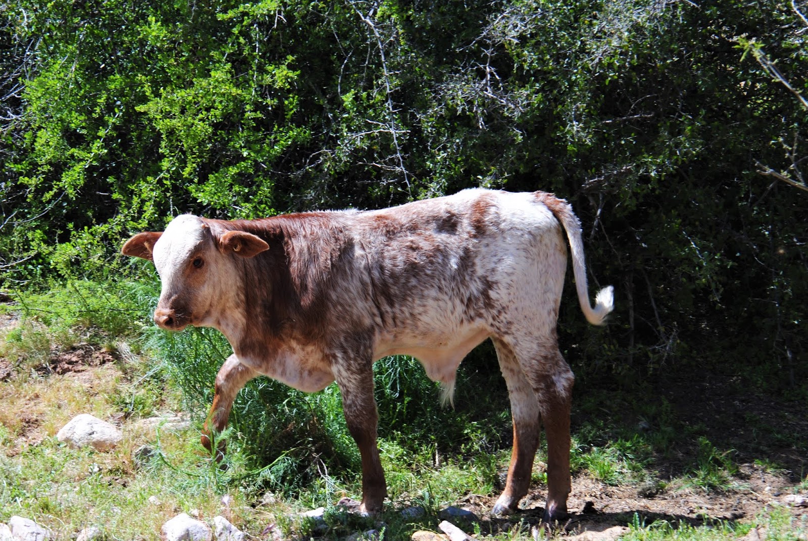 |
| Ninja Cow Baby on the way up to the Williams Family Ranch |
At some point during the ownership of this ranch, a gentleman named Jack Oliphant (yes, THAT Jack Oliphant - if you don't know who he is - he was supposedly a white supremacist and was an early organizer of the paramilitary movement - he was convicted of plotting a robbery of an armored truck, and he attracted much attention due to statements he made regarding the Oklahoma City bombing and McVeigh being a hero) - operated the ranch for wayward children (the Ranch Challenge). It operated for several years until the State shut it down. During the time Mr. Oliphant ran this ranch, there was a dormitory fire that killed three young girls that were sleeping in it. Adriah Robertson, Esther Voner and Amanda White died in this fire on October 7, 1978. The following information was posted in The Wickenburg Sun on October 12, 1978.
Three Young Girls Die
In Ranch Challenge Fire
Three young girls died in a fire Saturday night at Ranch Challenge, northeast of Wickenburg on Constellation Road. They were in a girls dorm, one of the buildings maintained by the Hallelujah People who formerly had their own settlement in Stanton. Dead in the blaze were Esther Voner and Adarah Robertson, both two years old, and Amanda White, 8. A fourth girl was burned in the fire, which broke out while adults in the group were in a meeting in a nearby building. Some of the adults were able to rescue some of the children in the dorm. It was reported the group has no electricity in use yet, and light is by lanterns and candles.In Ranch Challenge Fire
The Wickenburg SunWickenburg, AZOctober 12, 1978, p. 1
 |
| Cactus above the BLM Parking area at the Williams Family Ranch - they are holding on for dear life! |
It's terribly sad to see the lost lives of these little girls due to simple carelessness by the adults. The little girls are buried on the ridge above the ranch. But now, the ranch is a pretty little place which clearly occasionally floods - and the BLM has a map and visitors log in the parking area outside of the ranch.
That being said, Paul signed the log book for us while I went to investigate the map - and then we decided to head up to Black Rock, because Paul remembered a cemetery up there that I had absolutely no knowledge about!
We jumped back in the FJ, and headed back out, slowly crawling up the mountain - me shouting every couple of minutes to STOP! Look over there. Pretty flowers! STOP! I want to take a picture of that. STOP! Back up. No pull forward. A little more. Now the tree is in the way. Back up.
...Poor Paul...
 |
| Orange Prickly Pear Blossom |
We made it out, and headed down to Slim Jim Gulch - where we were going to pull off to go up the Black Rock Mine (well, that's what I thought - there wasn't anything there except a tailings pile and old wood from the chute). We bumped down the pretty little gulch - opened and closed the gate as instructed - and then it got a little rocky. Then a nasty little incline showed up. I assumed we were hiking it in from there. NOPE! Paul takes my prissy little FJ up this incline - I can't see anything except the sky and the top of the mountain, and we didn't roll or anything! I was rather impressed with my truck. Well, and Paul of course. But really with my truck!! She was amazing!
 |
| Black Rock Pioneer Cemetery |
Up at the top, we parked, and Paul showed me the cemetery. It's a pretty little place - and was restored by the APCRP in 2007. It was much bigger than I would have expected, and after doing some reading on the APCRP's website, they too think it was much bigger than the Black Rock Mine would have warranted. Perhaps the Monte Cristo or some of the Constellation folks were buried here as well?
There were terraced areas that looked to have been buildings - with upright slabs of rock much like at Sayer Springs, and tons of old wood buildings that had collapsed all over.
We decided to have some lunch here, and hang out for a bit before heading out for the long drive home.
 |
| Black Rock Mine |
The Black Rock Mine was discovered by Sam Powell sometime around 1902, and was in operation until 1941 or 1942 when it closed down due to the War. There isn't much else out there on the Black Rock Mine - and any standing buildings and the ore chute are collapsed. So there isn't much to see, except the cemetery (and I understand there are more down the "road"), and just mining ruin/trash everywhere.
And now the time has come to leave - our wonderful and exciting time out discovering things in the Arizona desert was over, and we started heading back to civilization. We go back over what I think is the nasty little drop - and my FJ is on 3 wheels. And Paul stops to tell me all about how she's on 3 wheels. I'm like - go. Damn it go (I thought we were going to roll). Then I wanted him to go back up it and let me video tape it coming back down, but I was nice and didn't make him do it.
The Monte Cristo Mine is one of the first "ghosttowns" I ever visited in Arizona. There are pictures on Ghosttowns.com from the '90's that I took of the area. Buildings at the Monte Cristo which aren't even there any more...time changes all, I guess.
The Monte Cristo Mine is one of the first "ghosttowns" I ever visited in Arizona. There are pictures on Ghosttowns.com from the '90's that I took of the area. Buildings at the Monte Cristo which aren't even there any more...time changes all, I guess.
 |
| Monte Cristo HeadFrame |
No comments:
Post a Comment